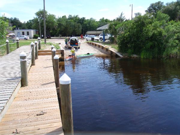
Turkey Creek Boat Ramps & Launches SOUTH TO NORTH |
TWIN CITIES PARK BOAT RAMP GPS: |

View Turkey Creek in a larger map
CITY OF NICEVILLE TURKEY CREEK PARK 340 John Sims Parkway (SR 20) Nicevile, FL (850) 642-7454 GPS: |
NORTH TURKEY CREEK EXTENSION W College Blvd Niceville, FL (850) 642-7454 GPS: |
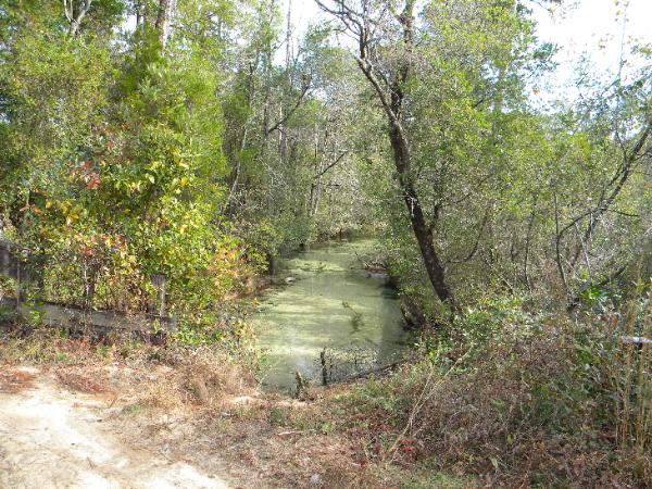
Canoe Launch Bridge Eglin Road 232 GPS: N 30 33.710 W 086 32.181W |
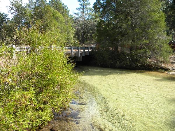
Hippie Hole Bridge Launch Eglin Road 233 N 30 34.879 W 086 34.487 |
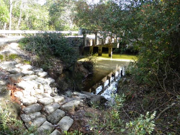
Eglin Road 637 Bridge Launch Eglin Rd 637 N 30 34.789 W 086 36.426 Above this point, Turkey Creek is too small to navigate by boat. Rd 637 may require a 4 wheel vehicle depending on the weather conditions. Several soft deep sandy area. |
A little help please....... Lot's of boat ramps to keep an eye on, so if you have an observation or report that you think will help your fellow fisherman on a particular boat ramp, please send me an email to: fishingdestinguide@cox.net I am particularly looking for information about launching at the ramp, any hazards or other things to watch out for. You will get full credit for the report or any photos. Help a fellow fisherman out who is not familiar with your area and that will make it that much easier for you when you visit a new area. Thanks . . . . . |