
| Alaqua Creek |
bottom.
There are several access ramps or launces the Alaqua creek.
The northermost most public access point is the bridge
where Eglin Rd 205 crosses the creek at the southern
limits of restricted are M-23. (N 30.33.369 W 86 10.775)
From Eglin Rd 205 to the Hwy 20 bridge is about 3.3
statue miles.
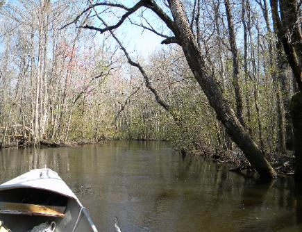
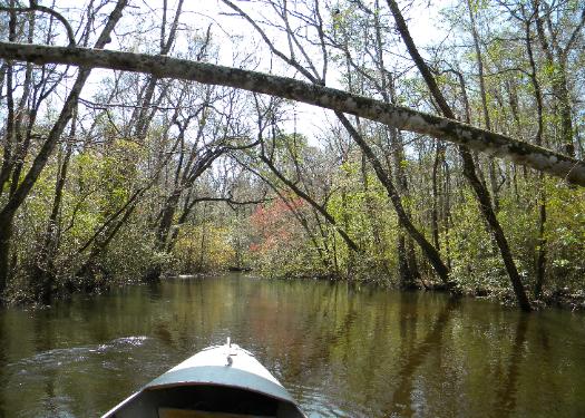
The creek has a lot of trees in the water, some being
just underneath the surface, others on top. If you are
going in a motor powered boat, you can expect your prop
to hit several of these fallen trees so you do not want to
lock the motor down.
There was a large tree in the water about 2 miles north of
the Hwy 20 bridge that I could not get around in my small
boat. Canoes or kayakers could probably make it.
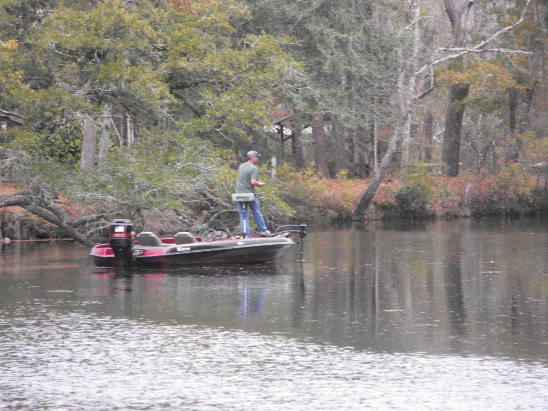
The current could be very swift in places and would be hard to fish. But there were a lot of bends and deep holes where you could
either anchor or tie off to a tree.
Heading upstream
There are several access ramps or launces the Alaqua creek.
The northermost most public access point is the bridge
where Eglin Rd 205 crosses the creek at the southern
limits of restricted are M-23. (N 30.33.369 W 86 10.775)
From Eglin Rd 205 to the Hwy 20 bridge is about 3.3
statue miles.
The creek has a lot of trees in the water, some being
just underneath the surface, others on top. If you are
going in a motor powered boat, you can expect your prop
to hit several of these fallen trees so you do not want to
lock the motor down.
There was a large tree in the water about 2 miles north of
the Hwy 20 bridge that I could not get around in my small
boat. Canoes or kayakers could probably make it.
The current could be very swift in places and would be hard to fish. But there were a lot of bends and deep holes where you could
either anchor or tie off to a tree.
Heading upstream
View ALAQUA CREEK in a larger map
Alaqua Creek
Alaqua creek is located in the western part of the Eglin
AFB reservation and empties into Alaqua Bayou on
the north side of Choctawhatchee Bay. Its origin is in
the northwestern part of the Eglin reservation within a
restricted access portion (M23) of the base.
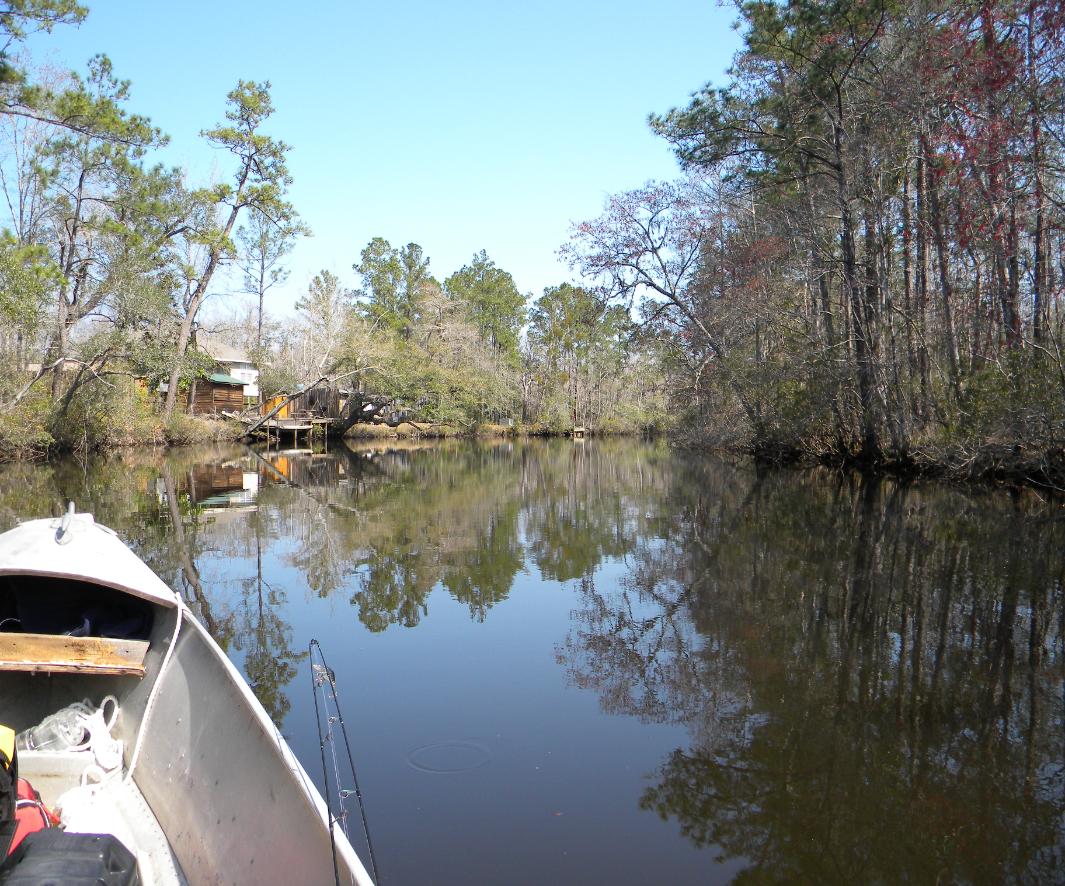
It flows through lowlands of hardwood timbers and
cypress and can have a relatively fast current
depending on the water levels. It is normally higher in
the winter and spring, with an average depth of at
least 6' most of the way. The muddy banks of the
creek in the upper portions are only 1-2' high and
most of the land surrounding it is considered wetlands
that floods. The waters are relativelly clear most of the
year except during the spring floods. It has a sandy
Alaqua creek is located in the western part of the Eglin
AFB reservation and empties into Alaqua Bayou on
the north side of Choctawhatchee Bay. Its origin is in
the northwestern part of the Eglin reservation within a
restricted access portion (M23) of the base.
It flows through lowlands of hardwood timbers and
cypress and can have a relatively fast current
depending on the water levels. It is normally higher in
the winter and spring, with an average depth of at
least 6' most of the way. The muddy banks of the
creek in the upper portions are only 1-2' high and
most of the land surrounding it is considered wetlands
that floods. The waters are relativelly clear most of the
year except during the spring floods. It has a sandy